On this page
- What is an Earthquake and How Does It Occur?
- Measuring Earthquake Intensity: Magnitude and Scales
- Seismic Risk in France: Zones and Regulations
- History of Notable Earthquakes in France
- Preparation and Safety Instructions for Earthquakes
- Monitor Global Seismic Activity with Earthquake Globe
- Frequently Asked Questions
Earthquakes in France: Causes, Risk Zones and Safety
Understand earthquakes and their impacts in France. Explore mechanisms, identify risk areas, and learn essential safety instructions.
What is an Earthquake and How Does It Occur?
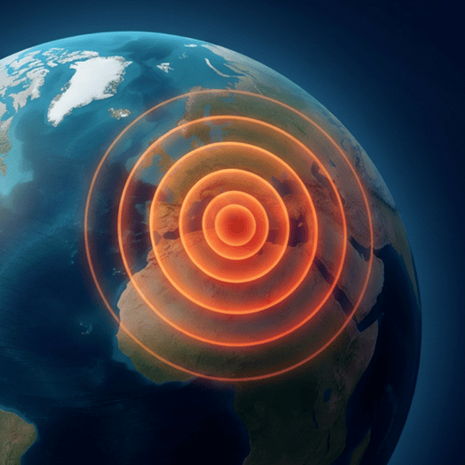
An earthquake, more commonly known as a tremor, represents a sudden release of energy in the Earth's crust that creates seismic waves. This natural phenomenon primarily results from plate tectonics, where vast sections of the Earth's lithosphere are constantly moving.
These movements create stress along faults, which are fractures in the rock. When the accumulated stress exceeds the rock's strength, it ruptures suddenly. This rupture generates rapid displacement, causing the vibrations we feel on the surface.
The point where the rupture occurs deep within the Earth is called the focus, or hypocenter. The epicenter is the vertical projection of the focus to the Earth's surface, and it is generally where the earthquake's intensity is strongest. Seismic waves propagate from the focus in all directions.
There are two main types of body seismic waves: P-waves (primary) and S-waves (secondary). P-waves are the fastest and can travel through solids, liquids, and gases, acting as compression waves. S-waves are slower, travel only through solids, and cause a shearing motion, creating a more pronounced shake.
Measuring Earthquake Intensity: Magnitude and Scales
Scientists use different scales to measure earthquakes, each with a specific purpose. The Richter scale, though famous, is now less used for large modern events. It measured the maximum amplitude of waves recorded by a standard seismograph.
Today, the moment magnitude scale (Mw) is the global standard for moderate to large earthquakes. This scale measures the total energy released by a fault rupture, providing a more precise and consistent estimate of an earthquake's size, regardless of the observer's distance.
It is important to note that an increase of one point on the moment magnitude scale represents an energy release approximately 32 times greater. For example, a magnitude 6 earthquake releases 32 times more energy than a magnitude 5 earthquake.
Another measure is macroseismic intensity, often expressed by the Modified Mercalli Intensity (MMI) scale or the European Macroseismic Scale (EMS-98). Unlike magnitude, which is a single measure of earthquake energy, intensity describes the effects felt at a given location, ranging from barely perceptible tremors to severe destruction.
Seismic Risk in France: Zones and Regulations
Metropolitan France, while not located on a major plate boundary, is not exempt from seismic risk. This risk is primarily linked to the collision between the African and Eurasian plates, leading to seismic activity in the Pyrenees, the Alps, and along the Rhône Valley, as well as in Brittany and the Massif Central.
The French government has established a national seismic zoning that divides the territory into 5 seismicity zones, from very low to strong. Zone 1 corresponds to very low seismicity, covering most of central France. Zone 5, indicating a strong risk, mainly concerns overseas departments such as Guadeloupe and Martinique, where tectonic activity is much more intense.
This zoning is crucial for applying earthquake-resistant building codes. Eurocode 8, the European standard for designing and sizing structures in seismic zones, is applied in France to ensure the safety of new buildings. These regulations aim to minimize structural damage and protect lives in the event of an earthquake.
You can find more information on safety measures and specific risks for your region by consulting the official guides on our page dedicated to seismic safety.
History of Notable Earthquakes in France
The history of France is marked by several significant earthquakes. One of the best known is the Lambesc earthquake, which occurred on June 11, 1909, in Provence. With an estimated magnitude between 6 and 6.2, it remains the deadliest earthquake in metropolitan French history, causing 46 deaths and significant material damage in several villages.
More recently, the Le Teil earthquake in Ardèche shook the region on November 11, 2019. With a magnitude of 4.9, this relatively shallow event caused considerable damage to local buildings, showing that even moderate magnitude earthquakes can have a significant impact in areas not accustomed to high seismicity.
Also worth mentioning is the great Basel earthquake in 1356, whose effects were strongly felt in Alsace and eastern France. This earthquake, with an estimated magnitude of 6.6, caused the destruction of many castles and villages within a wide radius, recalling the seismic interconnection of border regions.
These events highlight the importance of vigilance and preparedness, even in areas perceived as having low risk exposure. Our blog articles regularly address these topics to inform our readers.
Preparation and Safety Instructions for Earthquakes
Preparation is key to minimizing risks in case of an earthquake. Safety instructions in France align with global best practices. Before an event, identify safe zones under sturdy furniture and move away from windows or heavy objects that could fall. Prepare an emergency kit containing water, provisions, a first-aid kit, and other essential items.
During an earthquake, apply the "Drop, Cover, and Hold On" rule. Drop to the ground, take cover under a sturdy piece of furniture like a table, and hold on firmly until the shaking stops. If you are outdoors, move away from buildings, trees, and power lines, and stay on the ground.
After the earthquake, check your surroundings for injuries and immediate hazards such as gas leaks or fires. If you are in France, the single European emergency number is 112, to be used if needed. Listen for information and instructions from authorities via radio or media.
Only use your mobile phone for emergencies to avoid congesting networks. Wait for instructions from emergency services before moving. Also, be prepared for aftershocks, which can occur hours, days, or even weeks after the main shock.
Monitor Global Seismic Activity with Earthquake Globe
Understanding earthquakes and how they work is an important step in preparedness. For those who wish to monitor seismic activity in real time, the Earthquake Globe application offers an immersive and informative view of earthquakes around the world.
Our platform uses USGS data to display earthquakes on an interactive 3D globe. You can see the location, magnitude, and depth of each event, allowing you to stay informed about seismic activity near you in France or in any other region of the globe.
Whether you are a curious student, a resident of a risk zone, or simply interested in seismology, Earthquake Globe puts data at your fingertips. Discover how the Earth moves and be better prepared by understanding seismic risks.
Download the app to explore the latest events or visit our real-time earthquake map directly on our website.
Related Reading
Prepare an Earthquake Emergency Kit
Discover how to assemble an essential emergency kit for the first 72 hours after an earthquake.
Real-time Earthquake Map
Visualize global and local seismic activity on our interactive 3D map.
Earthquake Safety Instructions
Learn life-saving actions and prevention measures for any seismic situation.
FAQ
Frequently Asked Questions
What is an earthquake?
An earthquake is a shaking of the ground caused by the sudden release of accumulated energy in the Earth's crust. This usually occurs along faults when tectonic plates move relative to each other, causing a rupture and the generation of seismic waves.
Is France a seismic risk zone?
Yes, metropolitan France presents a moderate seismic risk, mainly in the Alps, the Pyrenees, and along the Rhine graben. Overseas departments, particularly the West Indies, are classified as high-risk zones due to their active tectonic situation.
How is the strength of an earthquake measured?
The strength of an earthquake is measured by its magnitude, which quantifies the energy released. The moment magnitude scale (Mw) is the most commonly used today. Intensity, measured by scales like Mercalli, describes the effects felt at a given location.
What to do in case of an earthquake in France?
In case of an earthquake, apply the "Drop, Cover, and Hold On" rule. Protect your head and neck under sturdy furniture. If you are outdoors, move away from buildings and power lines. After the shaking, check for hazards and follow authorities' instructions.
What is the largest earthquake recorded in France?
The Basel earthquake in 1356, with an estimated magnitude of 6.6, is one of the most significant to have affected eastern France. In metropolitan France, the 1909 Lambesc earthquake (M6-6.2) remains the deadliest in instrumental history.
Explore the World of Earthquakes with Our App
Download Earthquake Globe to monitor real-time seismic activity, anywhere in the world.