USGS Earthquake Data: How It Works and Why Apps Use It
Discover how USGS collects seismic data, what the GeoJSON feed contains, update frequency, accuracy limitations, and how Earthquake Globe uses USGS data to deliver real-time alerts.
Overview
Discover how USGS collects seismic data, what the GeoJSON feed contains, update frequency, accuracy limitations, and how Earthquake Globe uses USGS data to deliver real-time alerts.
This article covers the essential information about usgs earthquake data to help you understand the risks, stay informed, and take action when needed.
Key Facts
- Real-time USGS data updates every 60 seconds on the Earthquake Globe map.
- Set custom push notifications with magnitude threshold and geographic radius for any region.
- Monitor high-risk zones including Turkey, Japan, California, and Indonesia.
- Earthquake Globe works offline with cached data — see recent events even without internet.
How to Stay Informed
The best preparation for earthquakes combines physical readiness (emergency kit, family plan, structural awareness) with real-time digital tools. Earthquake Globe provides the digital awareness layer: a live global earthquake map and customizable push alerts for your specific area.
Configure a radius alert of 100–250 km around your location with a M4.0+ threshold to receive meaningful notifications for events that could affect you.
Related Reading
FAQ
Frequently Asked Questions
What is the key takeaway from this article?
Understanding earthquake risks, preparedness strategies, and using real-time tools like Earthquake Globe significantly improves your ability to stay safe and informed during seismic events.
How does Earthquake Globe help with this topic?
Earthquake Globe provides real-time USGS earthquake data on a 3D globe, customizable push notifications with radius and magnitude filters, and offline event caching — giving you situational awareness for any seismic region worldwide.
Where can I learn more about earthquake safety?
The USGS, FEMA, and Red Cross all provide comprehensive earthquake preparedness resources. Earthquake Globe's notification system gives you the real-time awareness component of a complete safety strategy.
Is Earthquake Globe free?
Yes. Earthquake Globe is completely free with no subscriptions, no in-app purchases, and no ads. No account is required.
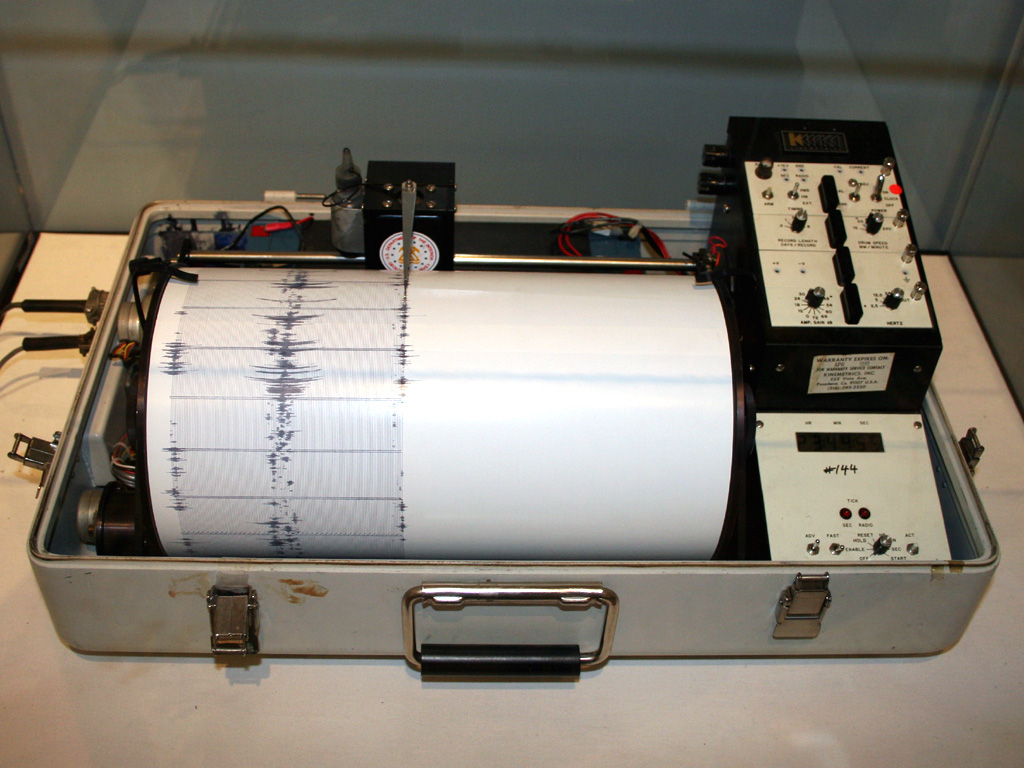
How does USGS determine earthquake magnitude in real time?
USGS uses automated processing pipelines that analyze seismic waveforms from its global seismograph network (ANSS) within minutes of an earthquake. Initial magnitudes are often revised as more station data arrives. The process starts with Pd (peak displacement) and ML (local magnitude) estimates and refines to Mw (moment magnitude) as full waveform analysis completes.
Stay Informed with Real-Time Earthquake Alerts
Free iPhone app. Custom radius + magnitude alerts. No account needed.