On this page
M6.7 Earthquake Strikes 21 km WSW of Sarangani, Philippines
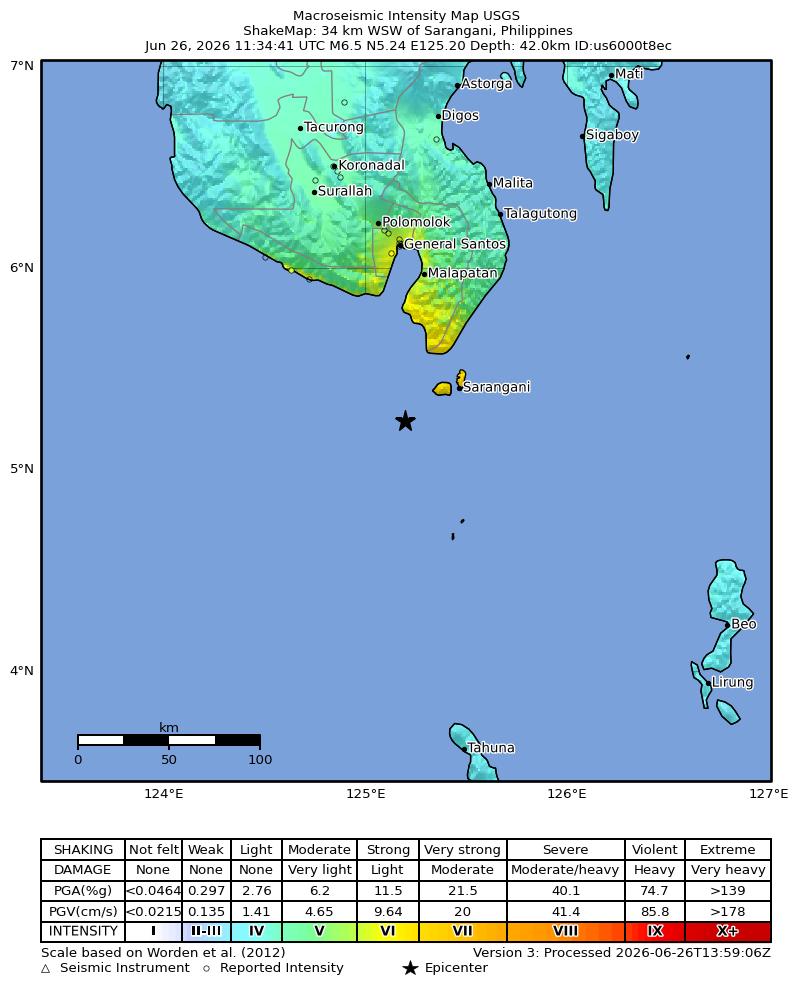
A significant M6.7 earthquake struck the Philippines on June 26, 2026. The seismic event occurred 21 km WSW of Sarangani at a depth of 65.7 km. It generated considerable ground shaking in the region.
What Happened
A strong earthquake with a magnitude of 6.7 Mi occurred on June 26, 2026, at 11:34 UTC. The seismic event was centered 21 km WSW of Sarangani, Philippines. Its focal depth was recorded at 65.7 km below the Earth's surface.
The earthquake was registered with event ID pt26177001 and is being monitored by geological agencies globally. Tremors were felt across parts of the southern Philippines.
Reported Impact
The earthquake generated a significant level of ground shaking, with a maximum Modified Mercalli Intensity (MMI) of 7.04. The Community Internet Intensity Map (CDI) reported a felt intensity of 4.0 for this event.
The alert level for this M6.7 earthquake was set to green, indicating a low likelihood of casualties and damage.
Tsunami Threat
Based on initial assessments, there was no tsunami generated by this M6.7 earthquake. Therefore, no tsunami warnings or advisories were issued for coastal areas following the event.
Aftershock Potential
Earthquakes of this magnitude often lead to a series of aftershocks. Residents in the affected area should remain vigilant for subsequent tremors. Aftershocks can occur hours, days, or even weeks after the main shock, gradually decreasing in frequency and intensity.
Tectonic Context
The Philippines is situated within the highly active Pacific Ring of Fire, a region known for frequent seismic and volcanic activity. This area is characterized by the collision of several major tectonic plates, leading to numerous earthquakes.
The interaction of these plates results in significant geological stress, which is periodically released through earthquakes like the one near Sarangani.
Safety Guidelines
In the event of an earthquake, it is crucial to follow the 'Drop, Cover, and Hold On' protocol. Drop to the ground, take cover under a sturdy table or desk, and hold on until the shaking stops.
If you are outdoors, move to an open area away from buildings, power lines, and trees. After the shaking subsides, check for injuries and assess your surroundings for potential hazards.
Stay informed by monitoring local news and official advisories. For more detailed safety information, visit trusted sources such as the United States Geological Survey.
Related Reading
USGS Event Page: M6.7 pt26177001
Official event details and data from the United States Geological Survey.
Learn About Earthquake Safety
Essential guidelines for what to do before, during, and after an earthquake.
Understanding Plate Tectonics
Explore the science behind why earthquakes occur in certain regions.
FAQ
Frequently Asked Questions
What was the magnitude of the earthquake?
The earthquake had a magnitude of 6.7 Mi.
Where did the earthquake occur?
The earthquake's epicenter was located 21 km WSW of Sarangani, Philippines.
When did the earthquake happen?
The earthquake occurred on June 26, 2026, at 11:34 UTC.
What was the depth of the earthquake?
The earthquake had a depth of 65.7 km.
Was there a tsunami threat?
No, there was no tsunami threat associated with this earthquake.
What does a 'green' alert level mean?
A 'green' alert level indicates a low likelihood of casualties and damage.
Stay Informed About Earthquakes
Sign up for our newsletter to receive timely updates and news about seismic events worldwide.